Live activity feed of investments, donations, and withdrawals across Agro Wealth projects. Command broadcasts appear first.
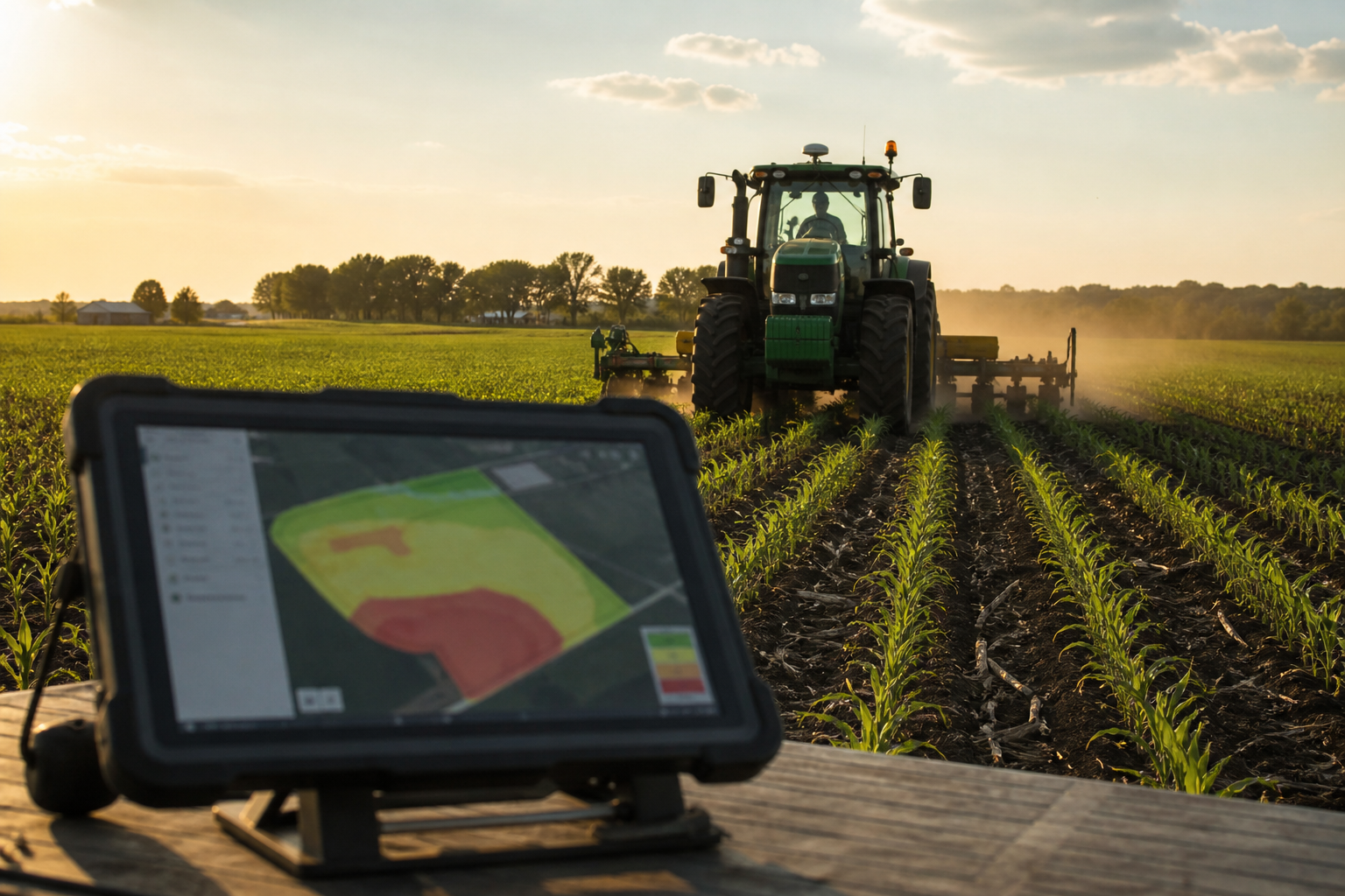
GPS, sensors, and field software on U.S. partner farms, sized to the acres you actually run.
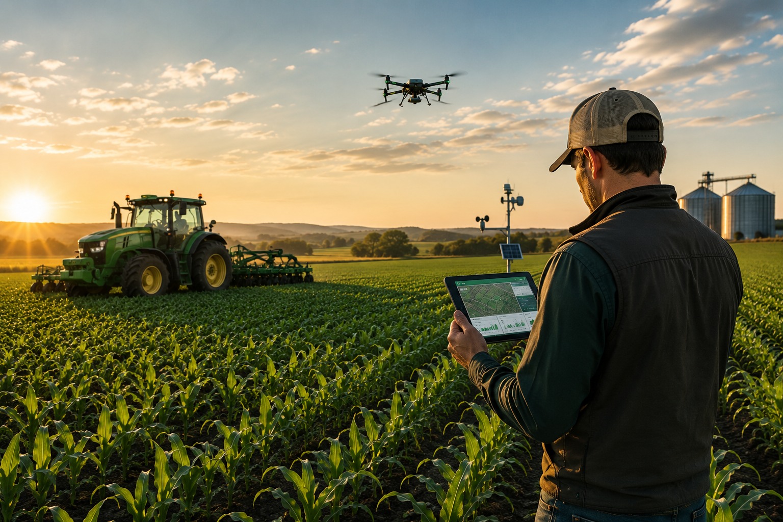
Satellite maps, soil sensors, and field software give growers more than a gut feel. You can see which part of a field is dry, which is hungry, and which is already fine.
You collect soil, weather, and crop data, then treat parts of a field differently instead of spraying the whole block the same way. Irrigation, fertilizer, planting, and pest control follow the map.
Done well, you use less water and fewer chemicals, and you stop overlapping passes.
The same idea scales from a few acres to a few thousand.
Weather is less predictable than it used to be. Data will not save a wrecked season, but it helps you move before the damage is done.
Ask the desk about precision farming if you want a kit sized to your ground.
 Discover our blog
 Discover our blog